
About Andhra Pradesh land records
MeeBhoomi is the Andhra Pradesh government’s land-record portal. Common terms users may encounter include Adangal, 1-B (ROR), survey number and FMB sketch. These records and maps have different purposes, and the services or downloadable formats available can change. This guide explains the terminology; always follow the official portal’s current instructions for the authoritative record.
Key terms to know
These terms are useful when searching for Andhra Pradesh land information. Exact fields and legal effects depend on the document and the applicable state rules.
- MeeBhoomi / మీ భూమి: The state’s online land-record portal. Use the official portal to check which services are available for the required location and record.
- Adangal / అడంగల్: A village-level record associated with land and cultivation-related details. Check the period, survey number and other fields shown in the official record.
- 1-B / ROR: A Record of Rights-related document/entry. It is distinct from Adangal and should be checked separately when the application or transaction requires it.
- Survey number: A parcel identifier used in land-record and map services. Match it with the correct village and other location details.
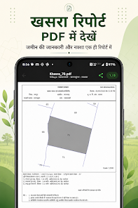
- FMB sketch: Field Measurement Book sketch terminology associated with survey measurements/maps. Availability and access conditions depend on the official service and record.
How to check a land record step by step
- Open the official MeeBhoomi portal and confirm the correct district, mandal and village.
- Choose the record type you need—such as Adangal or 1-B/ROR—rather than assuming one document contains every detail.
- Enter the survey number or other requested identifiers exactly as shown in your supporting papers.
- Compare names, area, survey references and record period. If a map or FMB sketch is needed, check the official service options for that record.
- For certified copies, corrections, disputes or land transactions, follow the prescribed government process and seek clarification from the relevant revenue office.
Official government resources
Use these official state services to verify information. A service may open a separate page or require additional details. Check the portal’s own instructions before submitting information or making a payment.
How BhuMap fits into the process
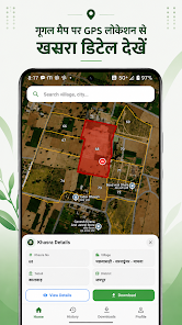
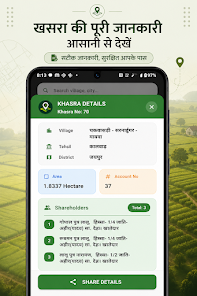
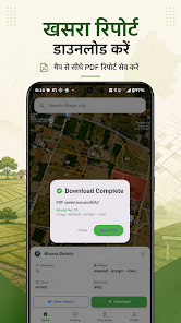
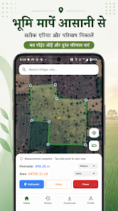
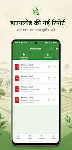
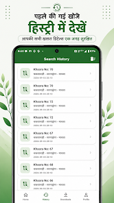
BhuMap is intended to make supported land-map tools and state-related information easier to explore on a mobile device. It can help users orient themselves and find relevant information, but it does not replace the state’s official system. Before relying on any app feature, confirm that it is available for your state and app version. For an official copy, correction, mutation, boundary demarcation or legal decision, use the prescribed government process.
Before using a land record for an important decision
- Confirm the district, tehsil/mandal/taluka and village match the land.
- Check the record period, update date, parcel identifier and area.
- Compare related records and registered documents where relevant.
- Do not treat a map screenshot or an informational page as proof of ownership or an official survey.
- For a purchase, loan, inheritance, dispute or boundary issue, consult the competent authority and a qualified legal professional.
Frequently asked questions
What is the difference between Adangal and 1-B?
They are distinct land-record documents with different purposes and fields. Check which one is required and review each separately on the official service.
Where can I check Andhra Pradesh land records?
Start at the official MeeBhoomi portal and follow its current service instructions.
Does a survey number alone always identify the right parcel?
Not safely by itself. Match the number with the district, mandal and village details, and compare the complete record.
Does this page mean every AP feature is available inside BhuMap?
No. This is an informational guide. App features and state availability can vary by version; check the current Google Play listing and the app itself.