
About Uttar Pradesh land records
Uttar Pradesh uses terms such as Khatauni, Gata number and Khasra in land-record workflows. Bhulekh and BhuNaksha serve related but distinct purposes: one may help locate record-of-rights information, while a map service helps visualize parcel layout. The available options depend on the record and jurisdiction. Always use the official portal for current entries and certified-copy procedures.
Key terms to know
These terms are useful when searching for Uttar Pradesh land information. Exact fields and legal effects depend on the document and the applicable state rules.
- Bhulekh / भूलेख: A general term for online land-record services. The UP portal includes access to Khatauni-related information and other parcel-status workflows.
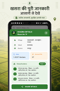
- Khatauni / खतौनी: A revenue record associated with landholding/account details. Read the full entry and verify the relevant period and parcel references.
- Gata / Khasra number: A plot or parcel identifier used in UP land-record systems. Match it with district, tehsil, village and any unique code shown.
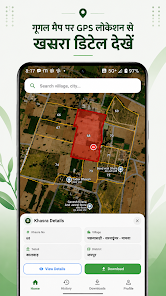
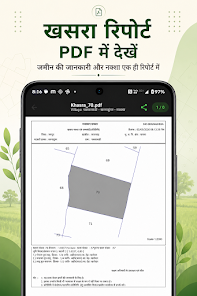
- BhuNaksha / भू-नक्शा: A cadastral map view that can help users understand parcel layout. It should not be treated as a certified survey or legal boundary determination.
- Mutation / नामांतरण: A process for updating revenue entries after a change. Check the status through the relevant official workflow and keep supporting documents.
How to check a land record step by step
- Choose the right district, tehsil and village (gram) for the land.
- On the official UP Bhulekh portal, open the relevant Khatauni or parcel-information service.
- Use the Gata/Khasra or unique code as requested and check that the location details match the land.
- If you need the parcel’s mapped layout, open the official UP BhuNaksha portal and cross-check identifiers.
- For a certified Khatauni, sale/transfer status, dispute status or correction, follow the official portal’s instructions and contact the revenue authority if needed.
Official government resources
Use these official state services to verify information. A service may open a separate page or require additional details. Check the portal’s own instructions before submitting information or making a payment.
How BhuMap fits into the process
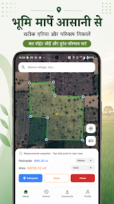
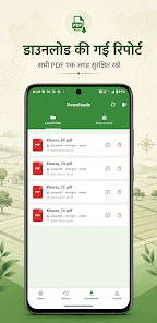
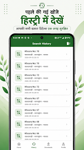
BhuMap is intended to make supported land-map tools and state-related information easier to explore on a mobile device. It can help users orient themselves and find relevant information, but it does not replace the state’s official system. Before relying on any app feature, confirm that it is available for your state and app version. For an official copy, correction, mutation, boundary demarcation or legal decision, use the prescribed government process.
Before using a land record for an important decision
- Confirm the district, tehsil/mandal/taluka and village match the land.
- Check the record period, update date, parcel identifier and area.
- Compare related records and registered documents where relevant.
- Do not treat a map screenshot or an informational page as proof of ownership or an official survey.
- For a purchase, loan, inheritance, dispute or boundary issue, consult the competent authority and a qualified legal professional.
Frequently asked questions
What is the difference between UP Bhulekh and BhuNaksha?
Bhulekh is associated with land-record information such as Khatauni; BhuNaksha is associated with parcel maps. They are related but are not interchangeable.
Can I get a certified Khatauni online?
The official portal describes a process for obtaining a certified copy through its prescribed workflow. Follow the current instructions and applicable payment requirements.
Does a BhuNaksha establish ownership?
No. A parcel map does not replace the official record of rights, registered documents or a legal determination.
Why do Gata numbers need village details?
Parcel identifiers are interpreted within a particular revenue area. Confirm the district, tehsil and village before treating a result as the correct plot.